Scene
For any given simulation scenario, the scene is a composition of several non-agent objects, along with other assets such as lighting, weather etc.Geospatial scenery
AirGen contains support for both synthetic and geospatial scenes. The synthetic scenes are generated using Unreal Engine, whereas the geospatial data is loaded through the Cesium platform. Within a geospatial scene, the starting location of the drone can be set through theOriginGeoPoint field in the configuration settings (in order to access this setting, you need to start a custom session instead of a sample scenario). The default latitude and longitude in this section correspond to Seattle, USA.
Alternatively, you can also use the setGeoReference() function in the Python API.
When using a geospatial scene, the Python client needs to be initialized with the geo=True flag. For example: client = airgen.MultirotorClient(geo=True).
AirGen provides the following API functionality that is specific to geospatial scenes/scenarios:
-
simSetVehicleGeoPose: Set the GPS location and an orientation of the drone. -
simSetObjectGeoPose: Set the GPS location and an orientation of an object. -
simSetGeoReference: Set the GPS location of the origin of the scene (the robot will also be teleported when this function is used). -
moveToGPSAsync: Move the drone to a GPS location with specified velocity, yaw behavior. -
getGPSData: Get the GPS location of the drone.
Scene Ground Truth
Voxel Grid: AirGen allows for on-demand generation and output of a voxel grid representation of the scene. A voxel grid is a representation of the occupancy of a given world/map, by discretizing into cells of a certain size; and recording a voxel if that particular location is occupied.Object Interaction
AirGen’s object functionalities offer dynamic interaction capabilities with the environment. Users can place, manipulate, and remove objects, setting up diverse robot testing scenarios.- Spawn an object: Spawns a new object from a library of existing objects in the simulation context. For example, the following code spawns a cube 20 meters in front of the robot.
- List available assets: Returns a list of all the assets available within the scope of the current scene.
- Get current pose of an object: simGetObjectPose fetches the current pose of a specified object.
- Change object pose: simSetObjectPose can be used to change an object’s position and orientation.
- Get current scale of an object:
- Change scale of an object:
- List all objects in a scene: To get a list of all the objects in a scene (and to select the ones we wish to control), we can use
simListSceneObjects(). The objects can also be filtered using wildcards to find some that fit a name pattern.
- Remove an object: Finally, to remove an object from a scene, we can use
simDestroyObject.
Weather and Environment Controls
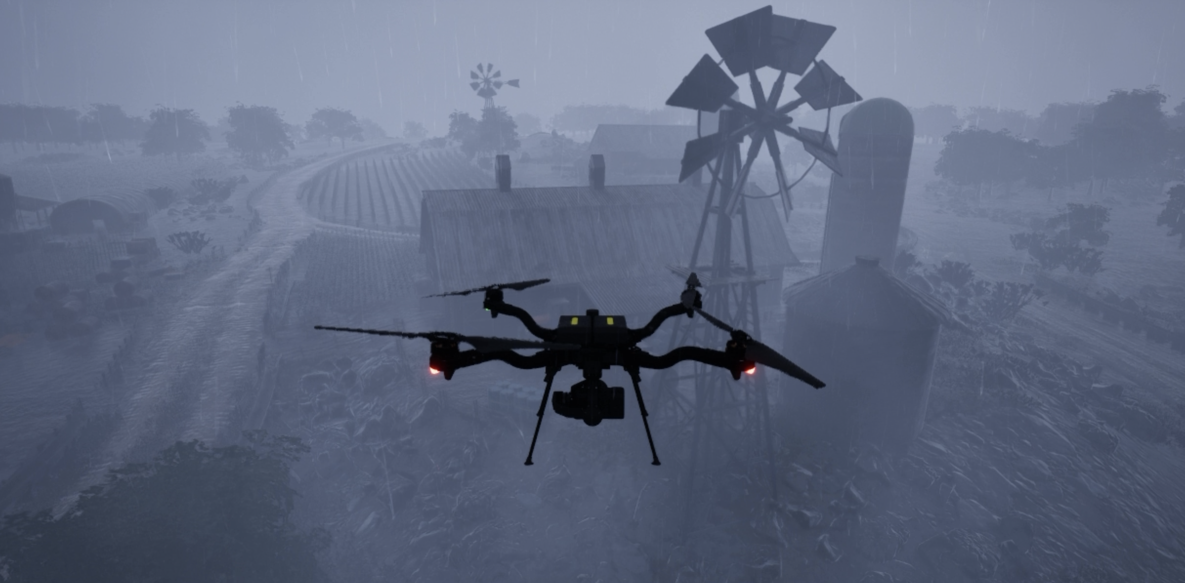
AirGen offers comprehensive control over environmental conditions, including weather effects, wind, and time of day. These parameters allow users to customize visual effects as well as the physical impact on aerial vehicles in simulation.By default, all weather effects are disabled. To enable weather effects, you must first call
simEnableWeather(True).Weather Parameters
Weather parameters are accessible throughsimSetWeatherParameter(), which enables users to set various weather effects. These effects impact only visuals and do not alter drone dynamics. Available weather parameters are:
- Rain
- Snow
- Fog
- Dust
airgen.WeatherParameter and provide a scalar value between 0 and 1, where 1.0 is the maximum effect.
Example: Setting Weather Effects
Wind API
ThesimSetWind() function modifies wind parameters in the simulation and directly impacts both visuals and the drone’s dynamics. The wind is defined using a Vector3r vector, where each component specifies wind speed in meters per second along the North-East-Down (NED) coordinate frame.
Example: Setting Wind Conditions
Aerial Vehicles Only: The wind effect currently influences only aerial vehicles; ground robots are unaffected by
simSetWind() settings.Time of Day
To dynamically adjust the time of day within the simulation, usesimSetTimeofDay(). This function adjusts sun and moon positions, ambient lighting, and overall sky conditions. Specify the desired date and time in the "YYYY-MM-DD HH:MM:SS" format.